Find out more...
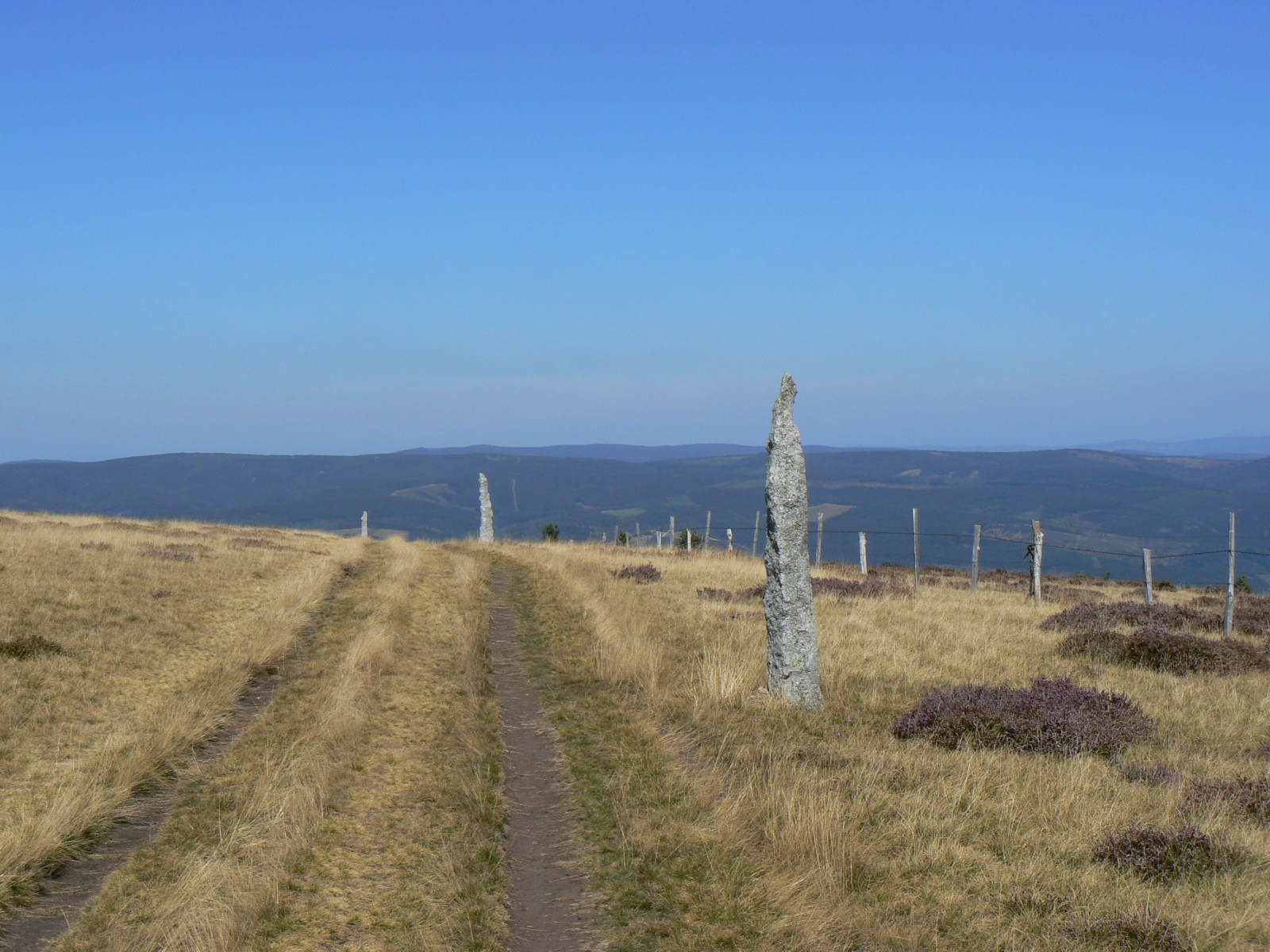
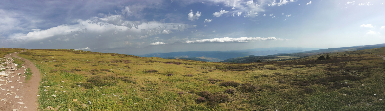
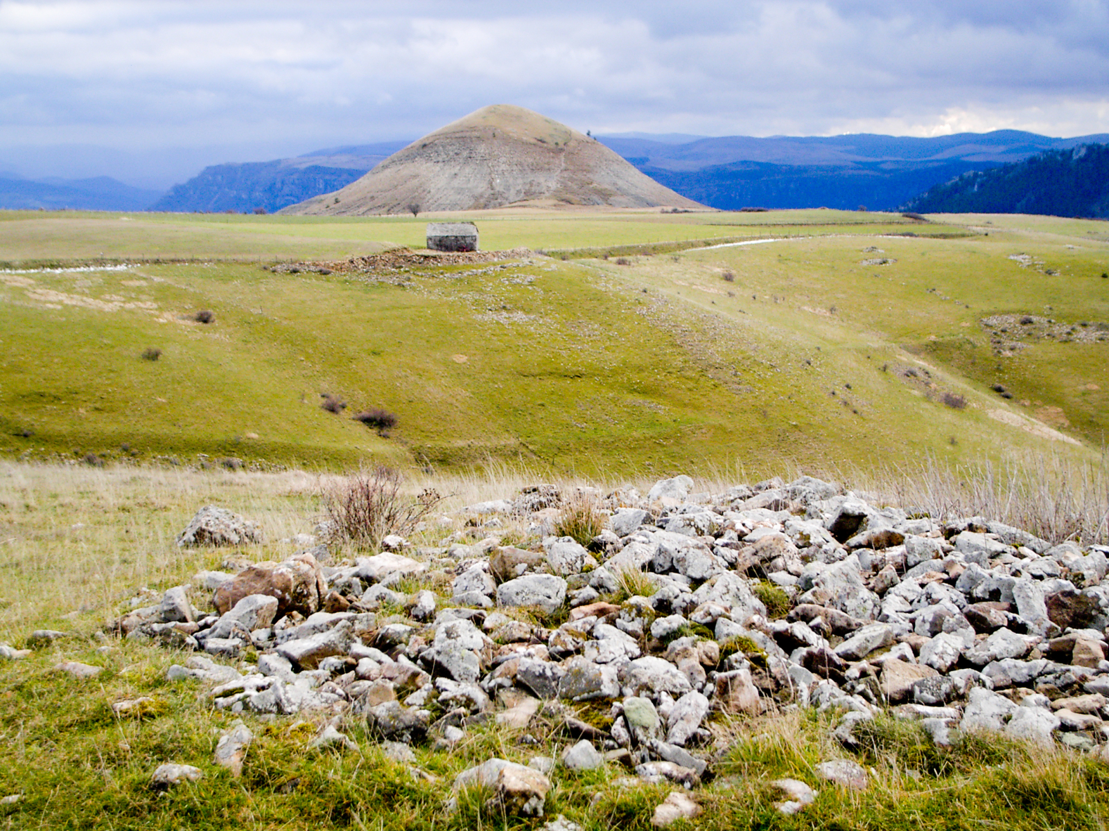
The tour of Mont Lozère (GR©68), is a touring, looping hike, about 120 km long. It can be covered in 5 to 7 days of walking. You'll notably pass through Villefort or Florac as you go around this granite massif, the highest point of the Cevennes.
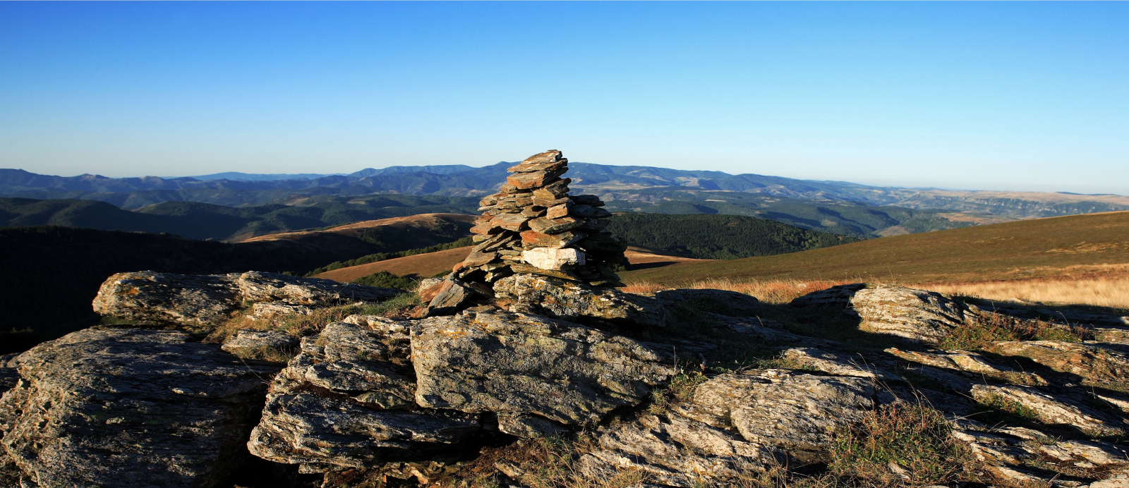
If you want to climb the summit of Finiels, a diagonal line is possible between Le Bleymard and Le Pont-de-Montvert you'll enjoy a remarkable 360-degree panorama of the whole of the Cévennes.
Not far away, still in the Lozère department, you'll find other beautiful hiking trails such as the Causse Méjean tour or the gorges of the Tarn, between Florac and Le Rozier.
Ideas for stages
You can use the following stages to prepare your hike. Of course, these can be modified according to your chosen accommodations:
- Step 1 : Villefort - le Bleymard, 25 km
- Step 2 : le Bleymard - la Fage, 25 km
- Step 3 : la Fage - Florac, 16 km
- Step 4 : Florac - La Bastide, 28 km
- Step 5 : La Bastide - Villefort, 28 km