-

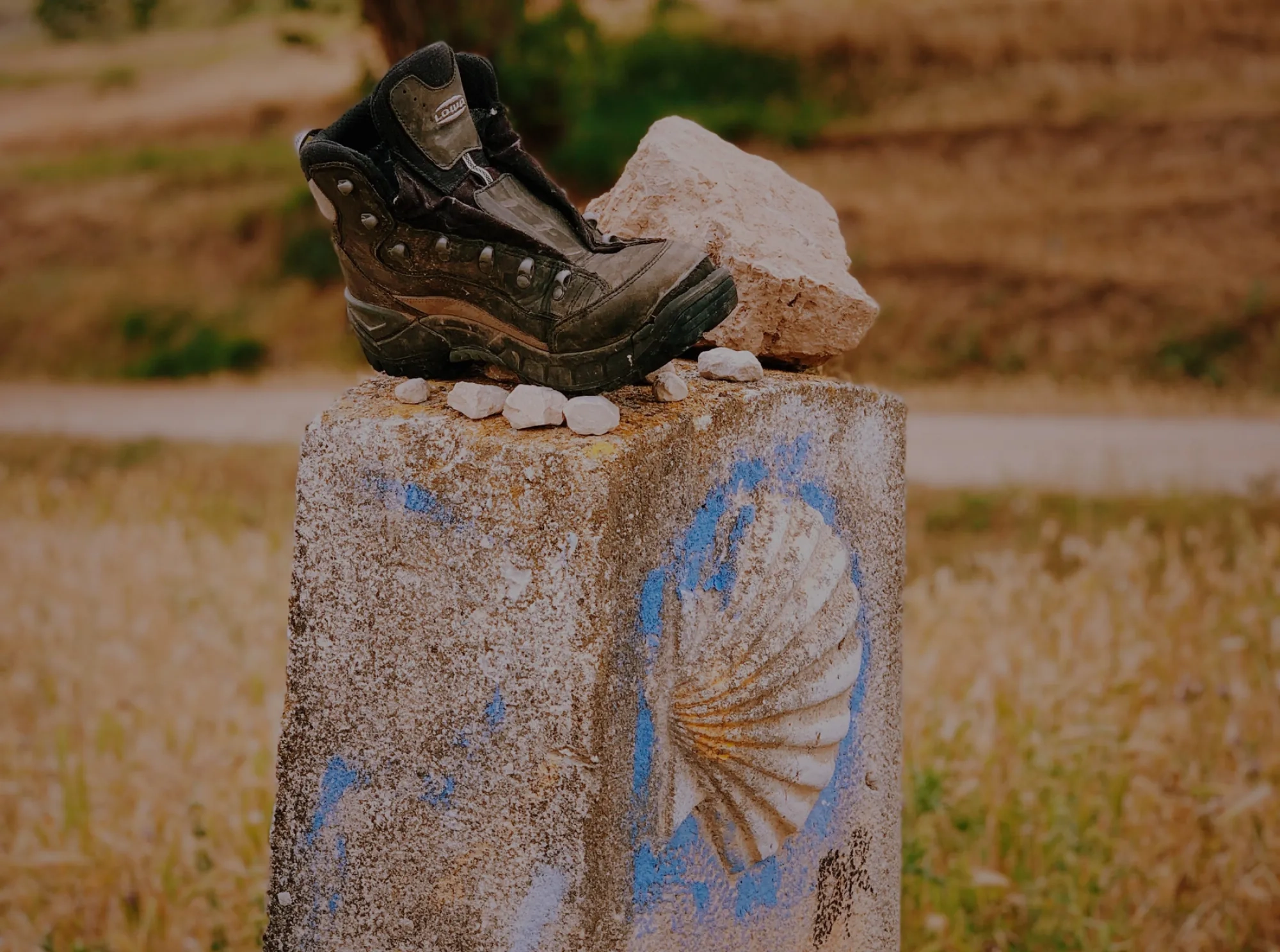
Compostela route
-
Hiking
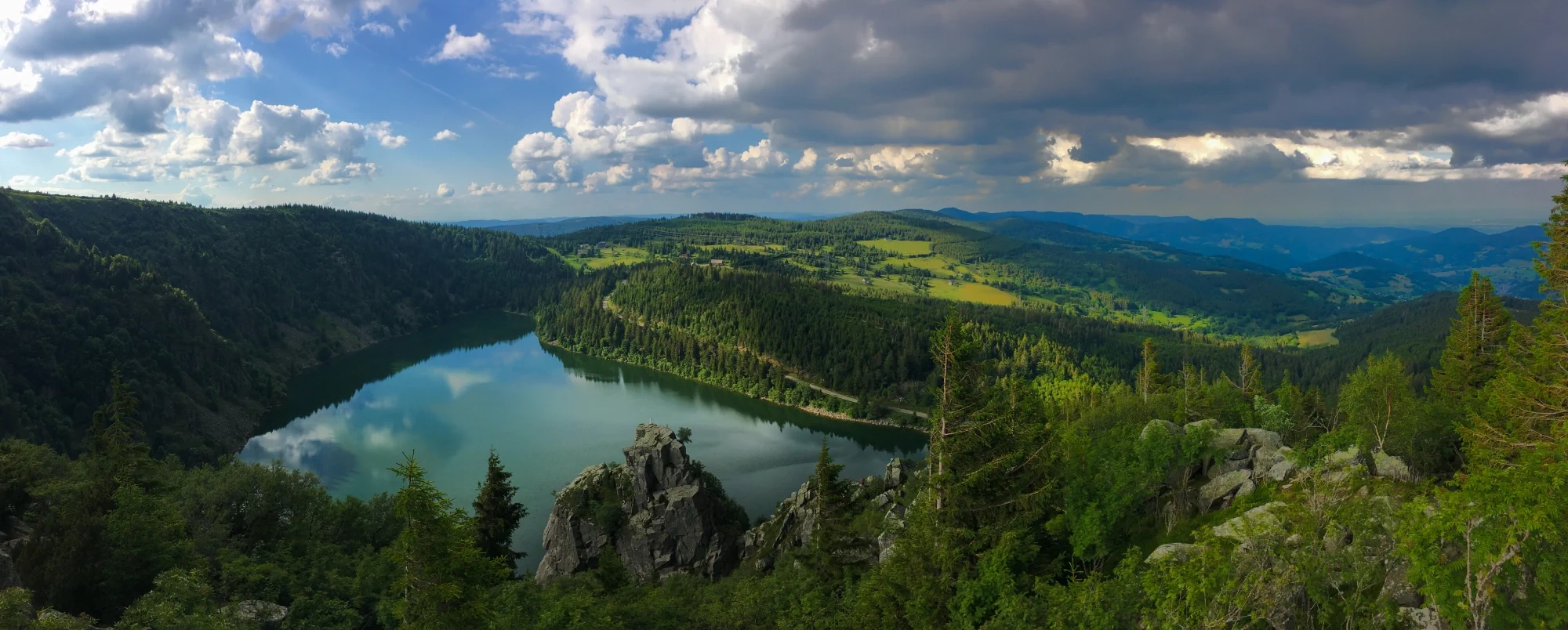
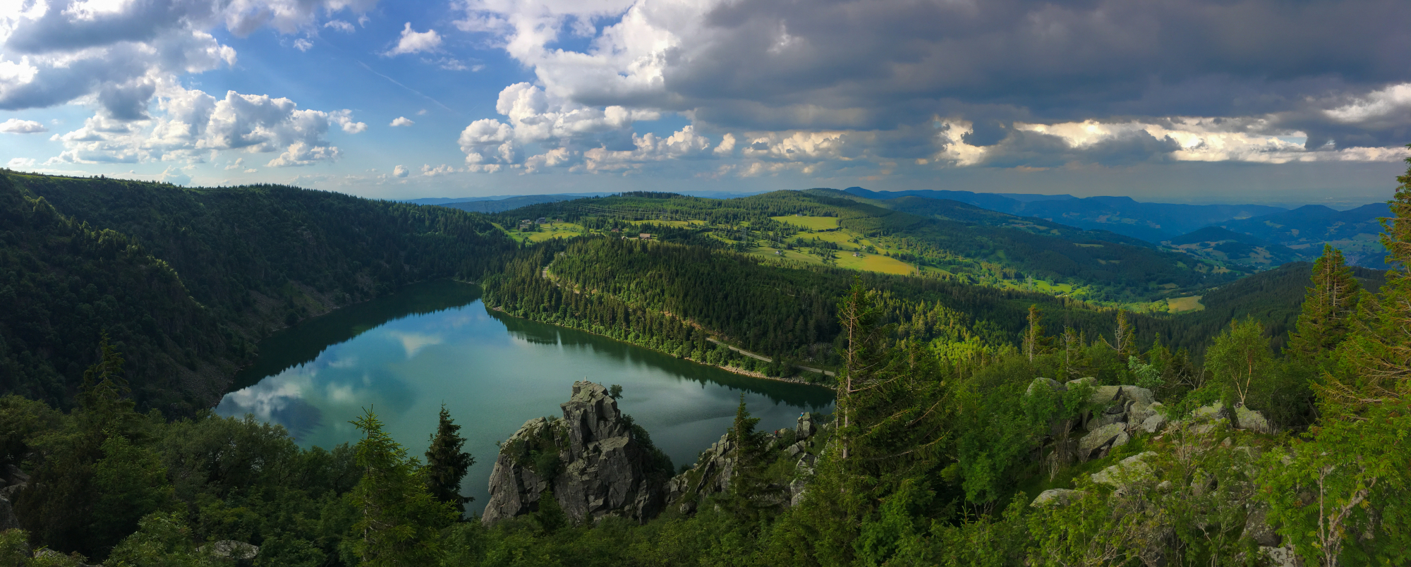
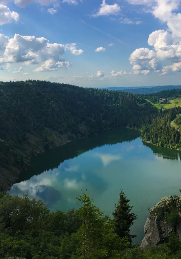
- The Vosges Massif
- Our classics
- Santiago de Compostela routes
-
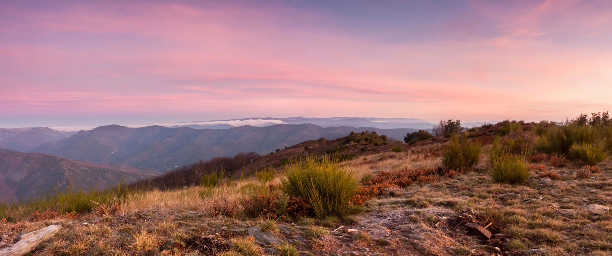
Cévennes
The Stevenson trail
The Saint-Guilhem way
Tour of the Aubrac
The Régordane Path
The Urban V trail
The Tour of Mont-Lozère
The Gorges and valley of the Tarn
The Causse Méjean Tour
The Tour of the Margeride
The Great crossing of the Ardèche by mountain bike (GTA)
The Santiago de Compostela route
GR7: from Mâcon to Castelnaudary
The Great crossing of the Massif Central by mountain bike
-
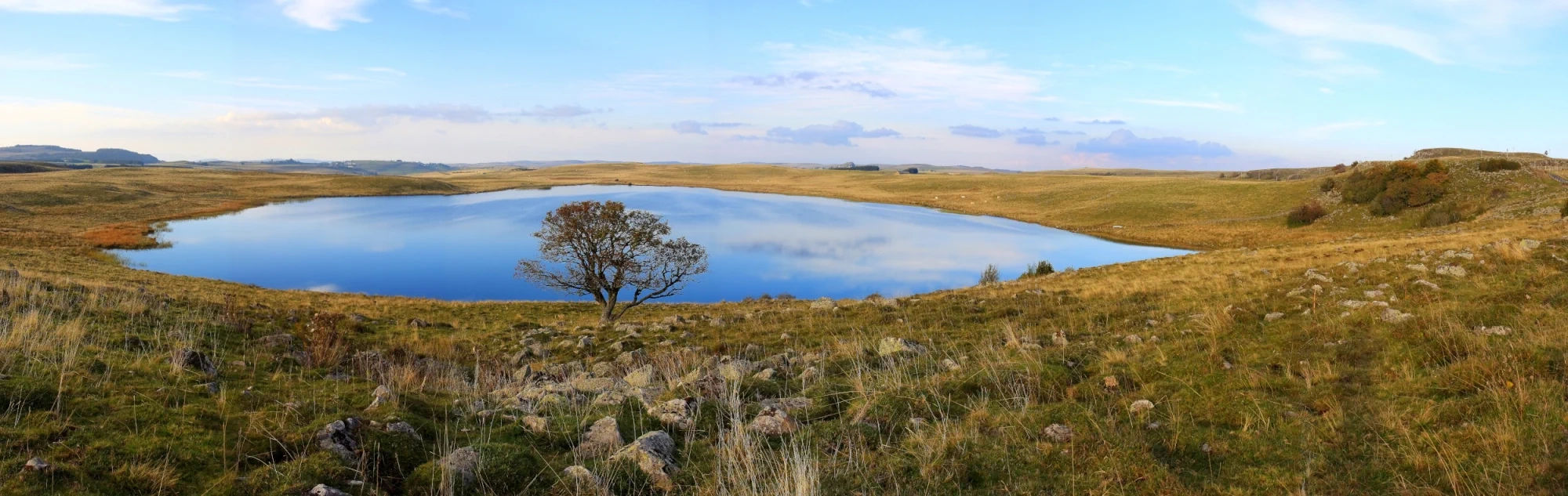
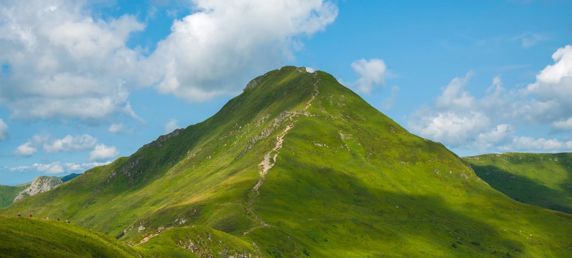
Auvergne and Velay volcanoes
The Auvergne Volcanoes and Lakes Trail
The Cantal Volcano tour
From the Cantal Mountains to the Lot Valley
The source and the gorges of the Allier River
The Saint-Régis trail
The Tour of the Mézenc / Gerbier massif
Tour of the Velay Volcanoes
from La Chaise-Dieu to le Puy, on foot or by bike
The Great crossing of the Massif Central by mountain bike
The Via Fluvia
Springs and gorges of the Loire
The Grand crossing of the Haute-Loire by mountain bike
The Santiago de Compostela route
Le tour de la chaîne des Puys - GR® 441
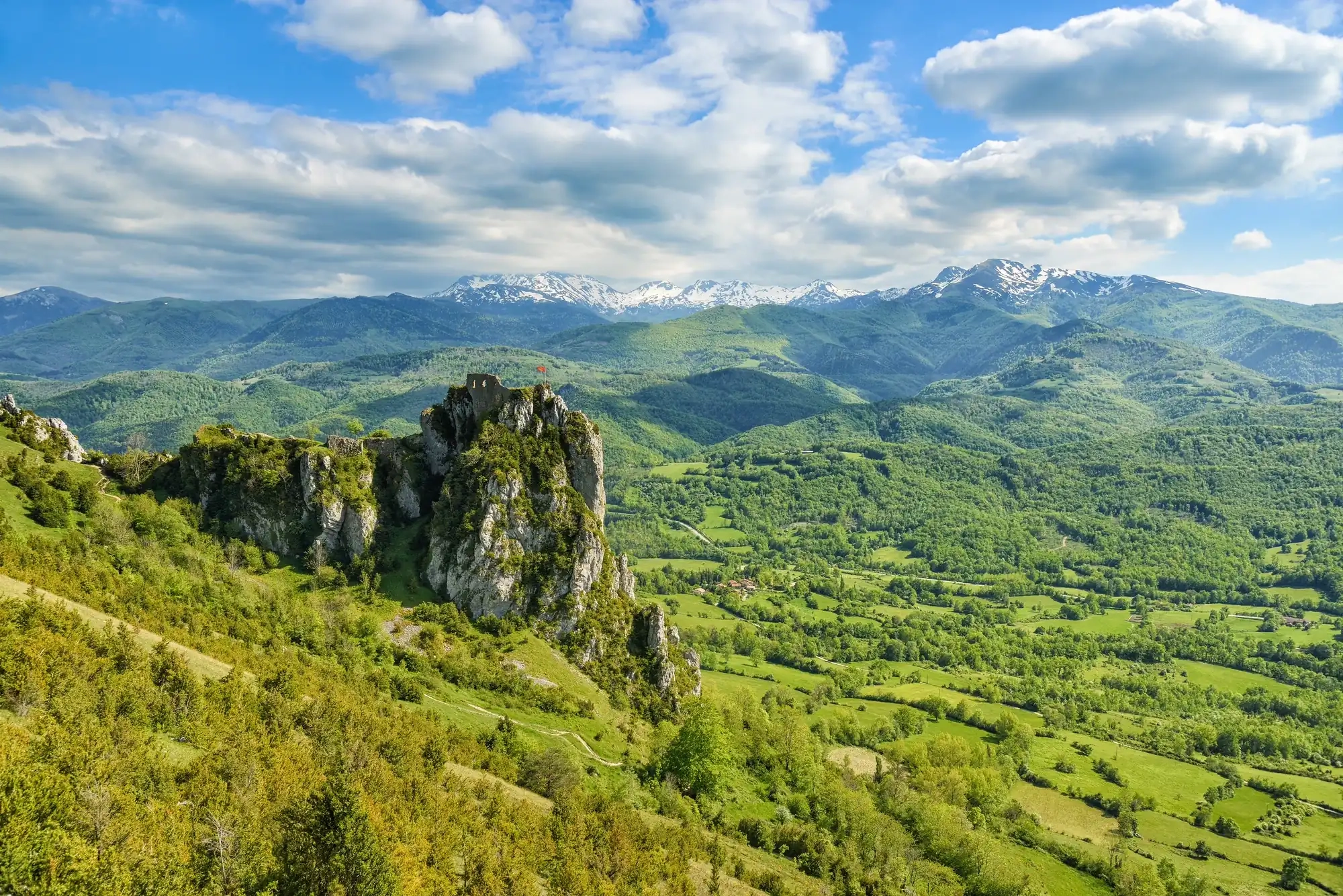
- Languedoc & Pyrénées
-
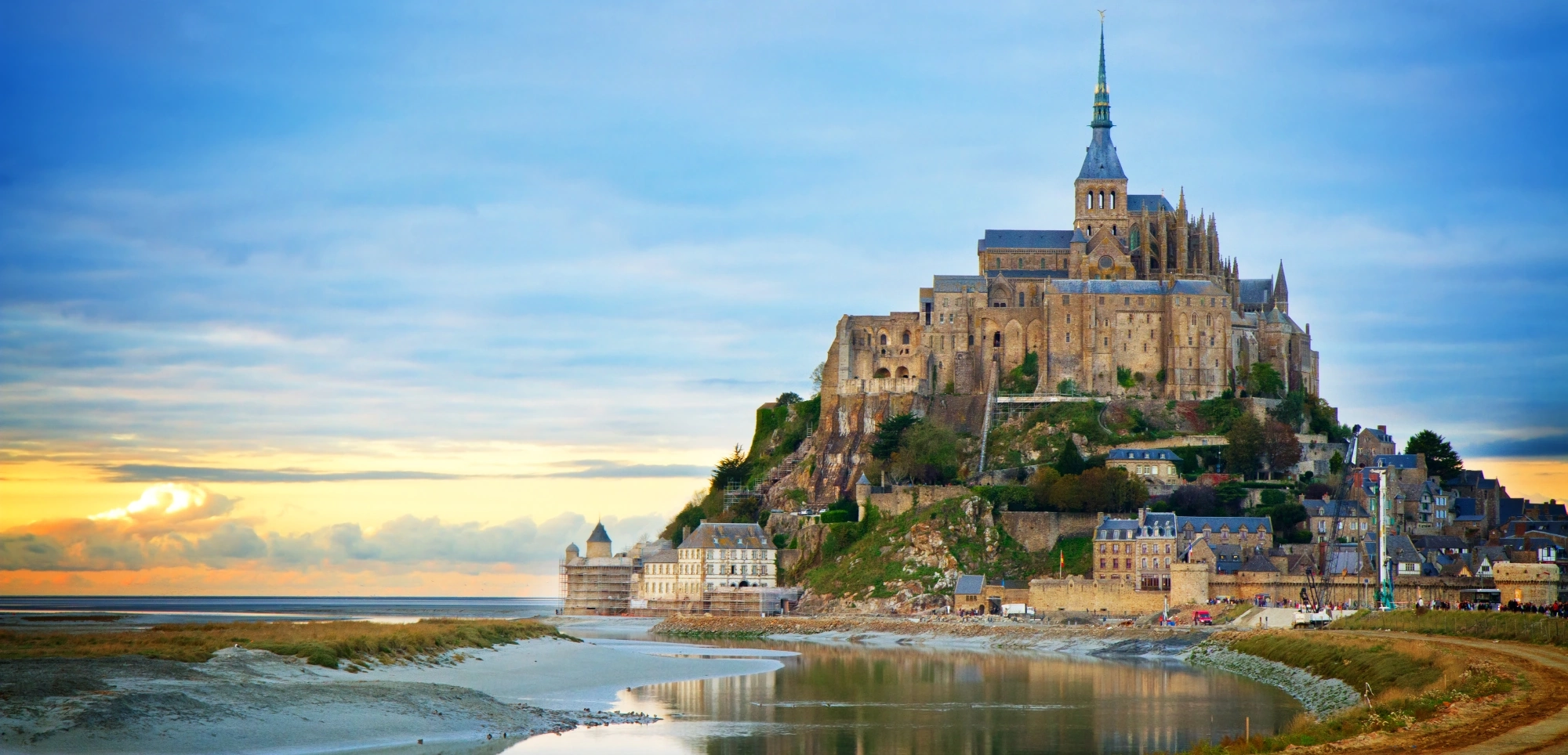
Brittany & Normandy
The GR® 21 from Le Tréport to Le Havre
The Cotentin trail
The Emerald Coast
From the Trégor region to the Pink Granite Coast - GR® 34
From the Bay of Morlaix to the Côte des Abers
The Crozon Peninsula
La Pointe du Raz and the Coast of Cornouaille
The Morbihan Coastline
Kalon Menez Are®
Tro Breizh ®
The Vélomaritime
The Vélodyssée in Brittany
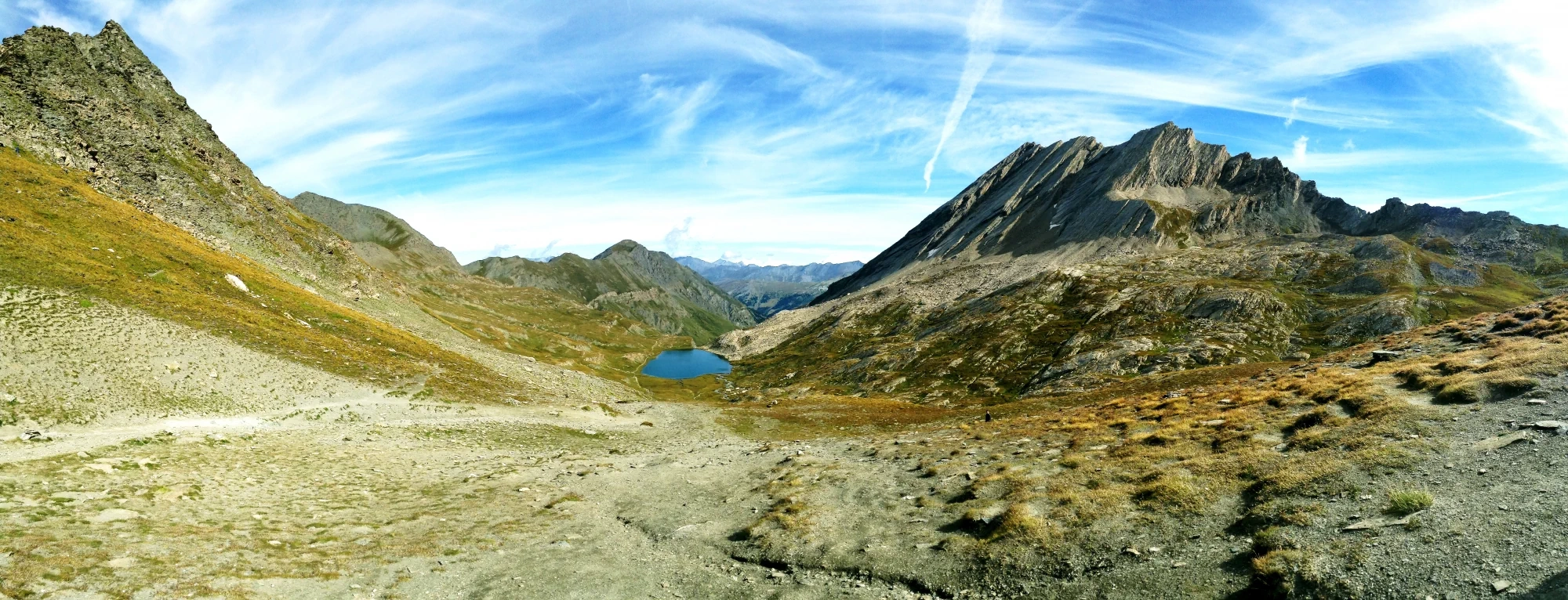
- Alps, Jura & Vosges
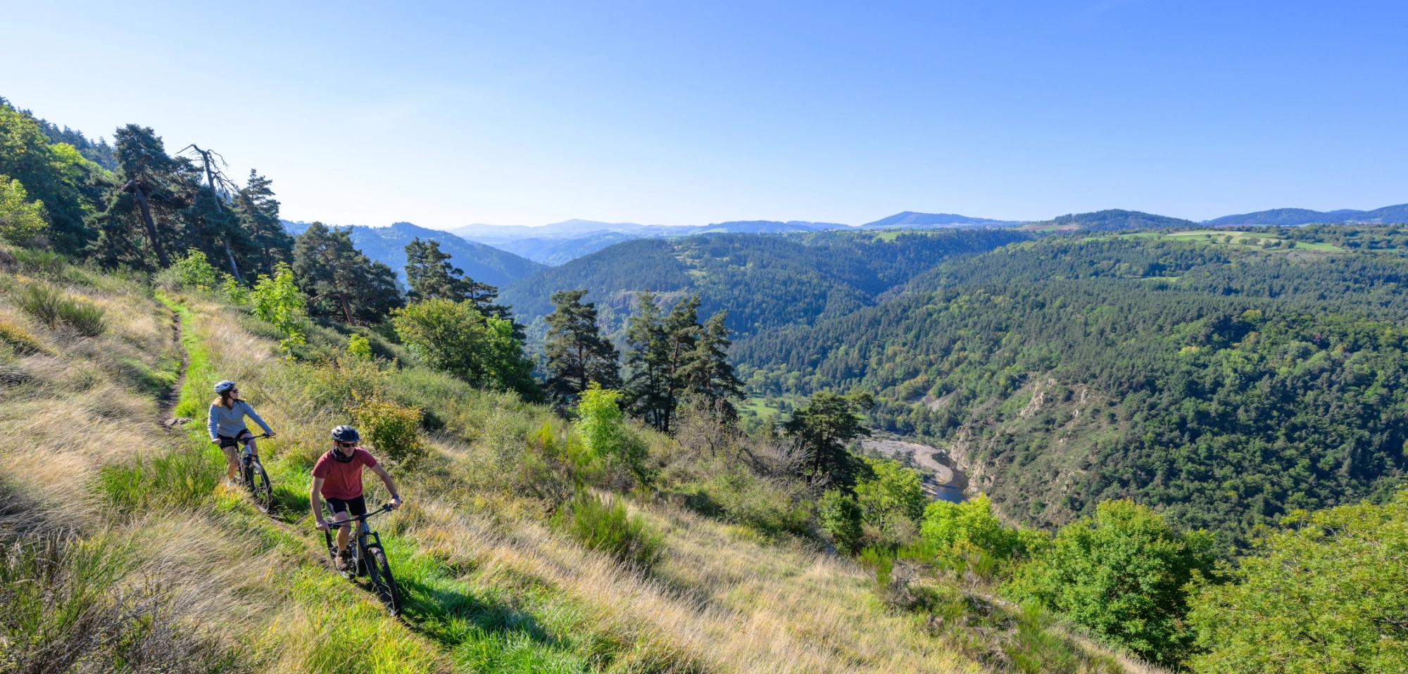
- By bike
-
Services
-
store