Find out more...
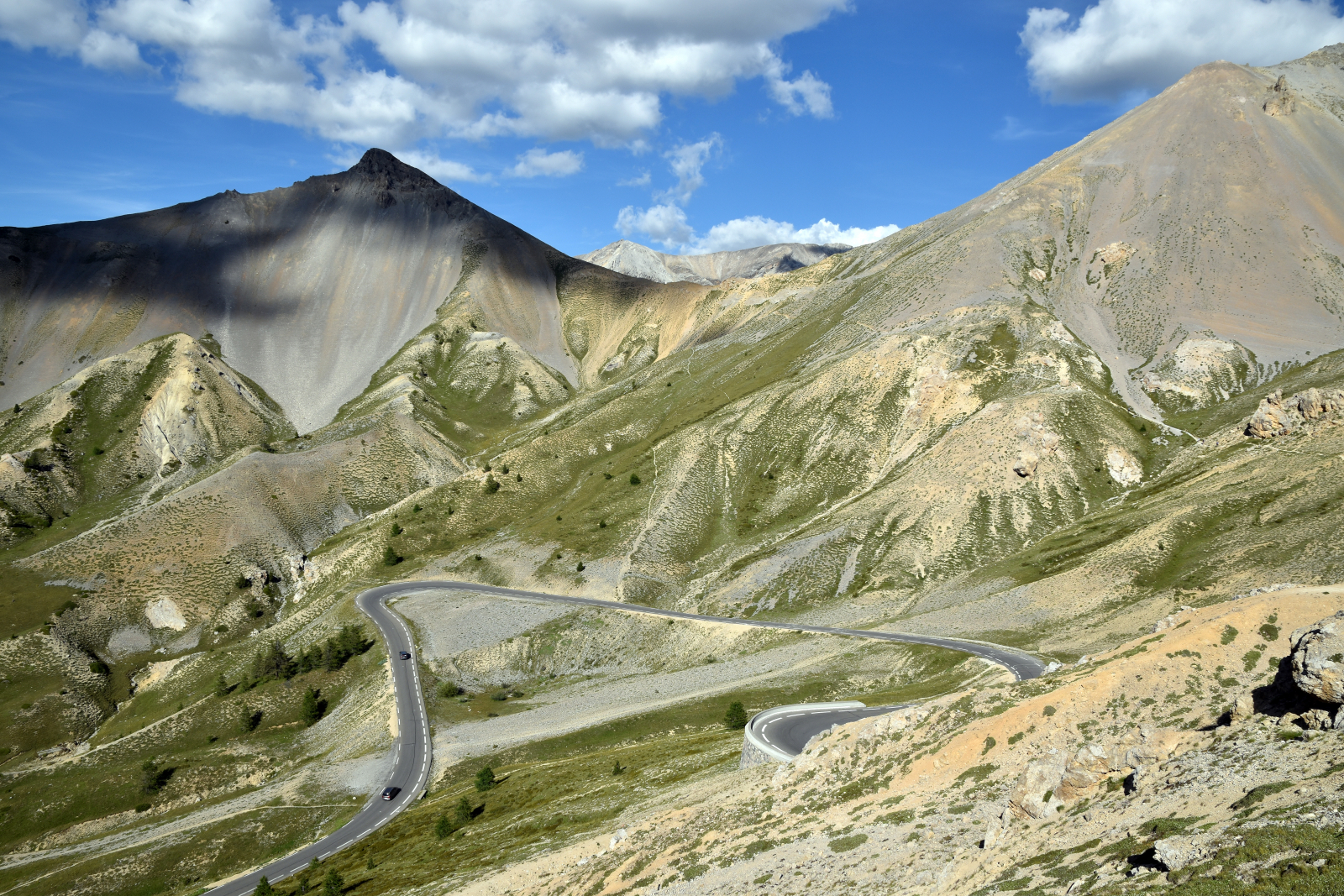
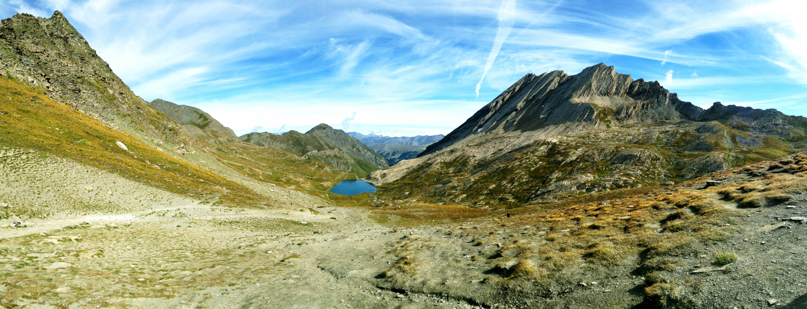
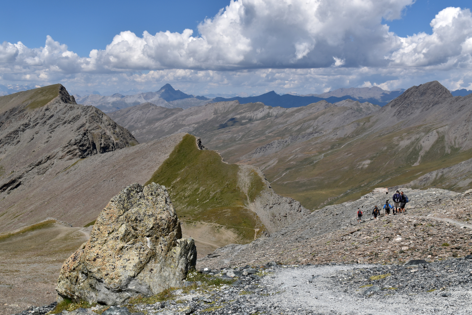
Located in the Hautes-Alpes, the tour of the Queyras is a hike that can be travelled in 5 to 9 days of hiking, depending on your stages. You'll notably pass through Saint-Véran or the Chamoussière pass that rises to an altitude of 3175 m.
Located in the heart of the Queyras Regional Nature Park, it’s a route where you'll sometimes cross alpine pastures, larch forests and typical villages. Sublime views await you on the Alpine range and its mountain lakes.
The weight of the luggage is limited to 12 kg per bag ! In case of excess, your luggage will be charged double !
Stages on the tour of the Queyras
- Ceillac - Saint Véran : 14 km, environ 6h
- Saint-Véran - Refuge Agnel : 13 km, environ 5h30
- Refuge Agnel - L'Echalp : 12 km, environ 5h
- L'Echalp - Abriès : 15 km, environ 6h
- Abriès - Refuge des Fonts de Cervières : 15 km, environ 7h
- Fonts de Cervières - Souliers: 5h
- De Souliers à Chalp d’Arvrieux : 4h
- De la Chalp d'Arvieux au Refuge de Furfande : 5h
- Du Refuge de Furfande à Bramousse : 4h30
- De Bramousse à Ceillac : 4h30