Find out more...
The tour of the Mézenc Gerbier-de-Jonc massif is a loop hike between Haute-Loire and Ardèche that can be covered in 5 days. To shorten the journey, follow a diagonal line between Fay-sur-Lignon and Sagnes-et-Goudoulet.
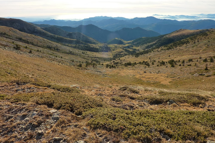
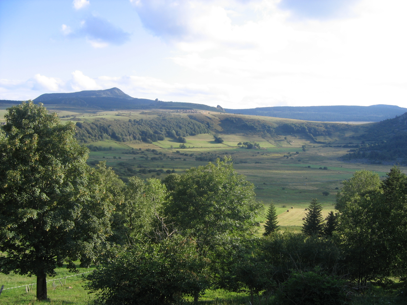
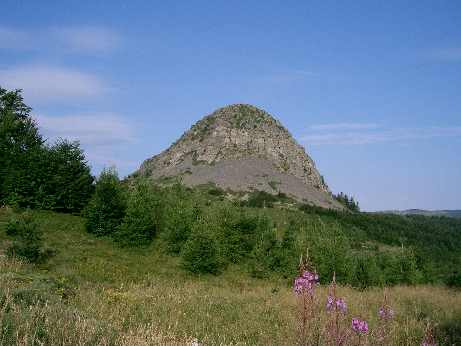
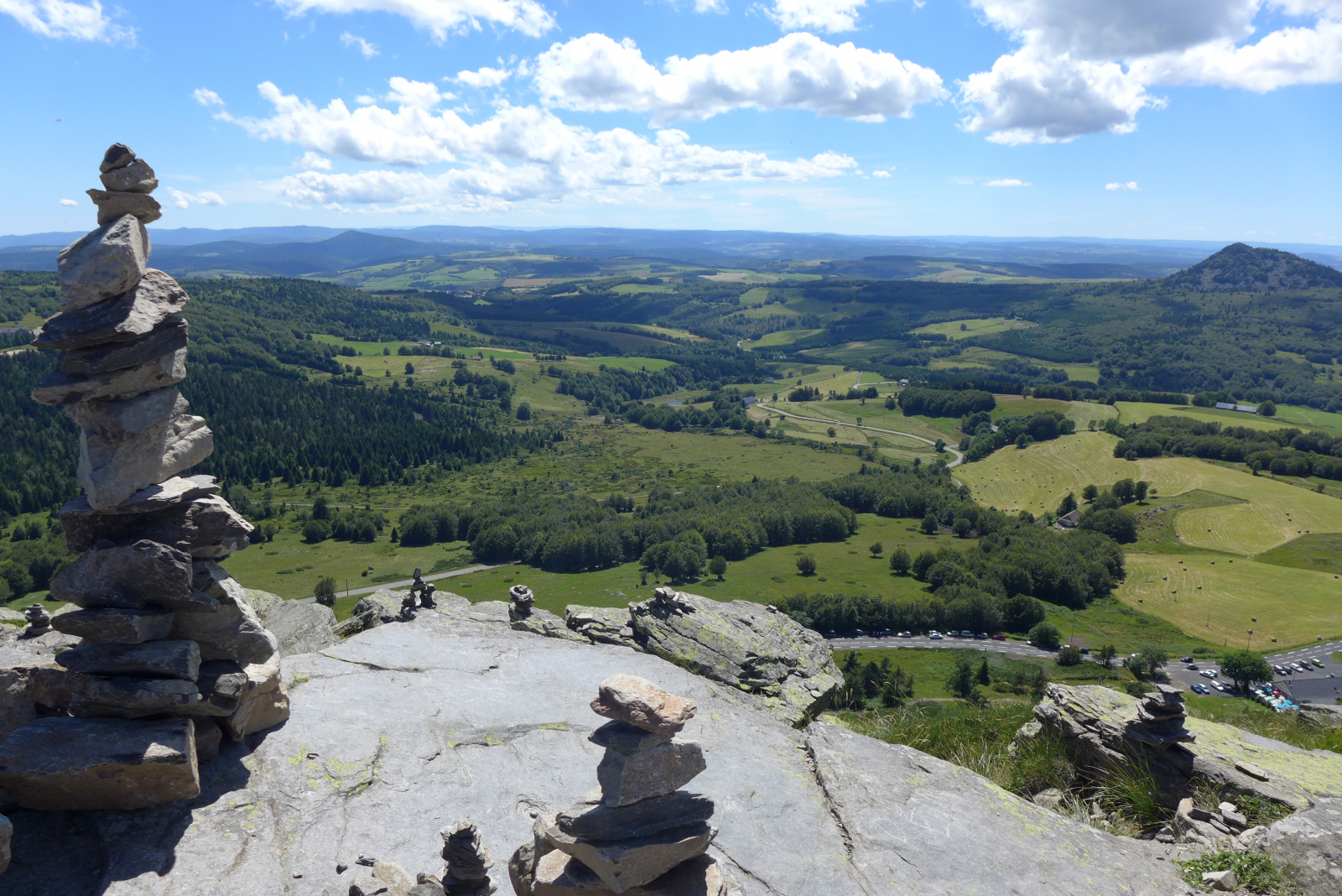
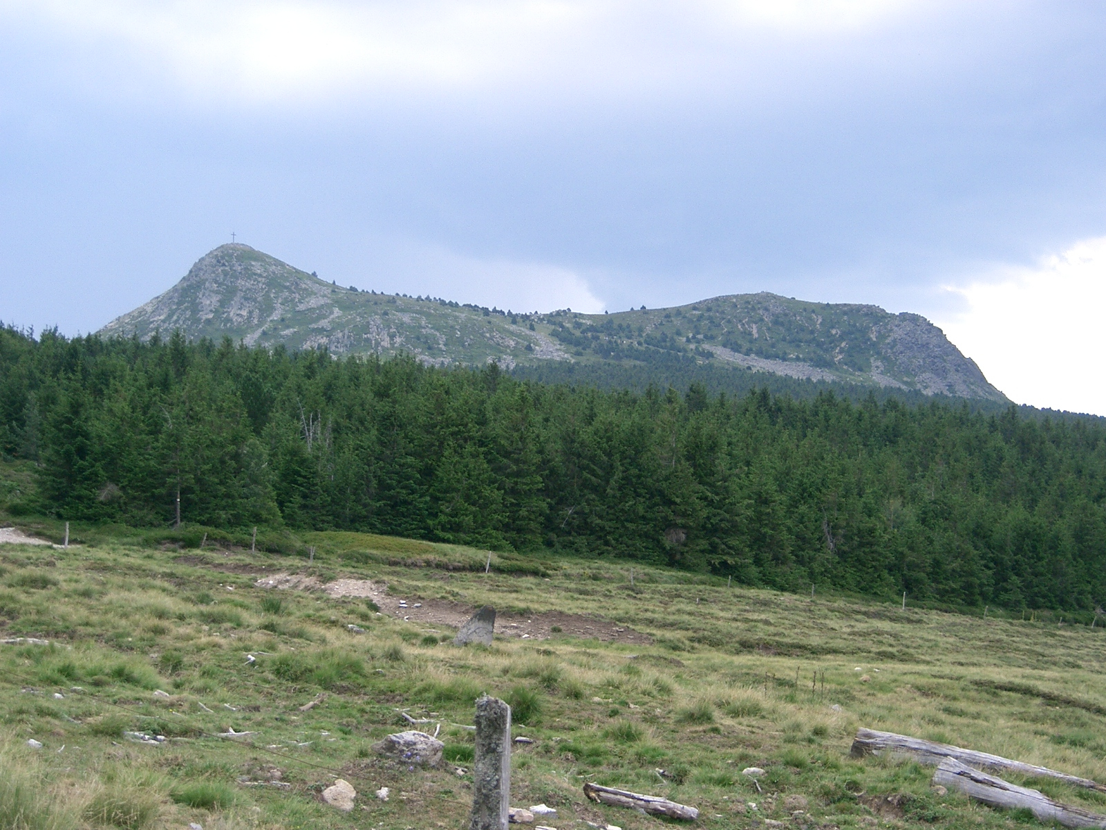
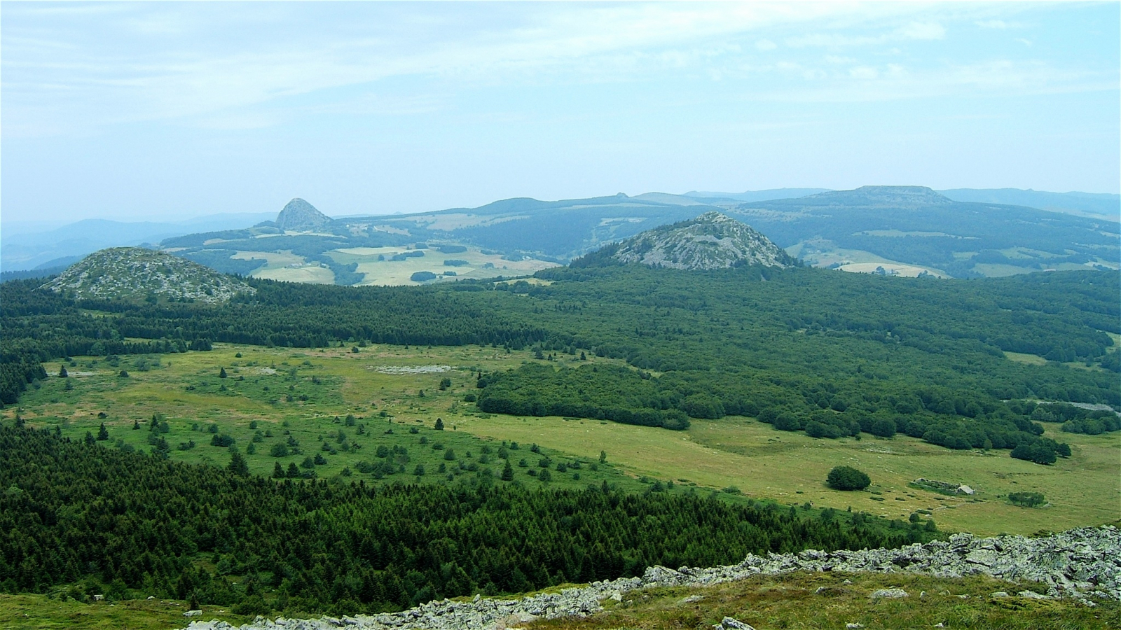
Walking on the Tour of the Mézenc Gerbier-de-Jonc massif, you'll be able to discover the highest summit of Haute-Loire (Mount Mézenc, 1,753 m) and the sources of the Loire River (Mount Gerbier-de-Jonc, 1,551 m) with in particular views of the Monts d'Ardèche Nature Park.
Ideas for stages
You can use the following stages to prepare your hike. Of course, these can be modified according to your chosen accommodations:
- Step 1 : Freycenet-la-Tour - Beauregard, 17 km
- Step 2 : Beauregard - Sagnes-et-Goudoulet, 27 km
- Step 3 : Sagnes-et-Goudoulet - Borée, 24 km
- Step 4 : Borée - Fay-sur-Lignon, 18 km
- Step 5 : Fay-sur-Lignon - Freycenet-la-Tour, 24 km
The West loop (4 steps) on the Tour of the Mézenc-Gerbier massif
- Step 1 : Freycenet-la-Tour - Béage, 21 km
- Step 2 : Béage - Villevieille, 10 km
- Step 3 : Villevieille - Fay-sur-Lignon, 23 km
- Step 4 : Fay-sur-Lignon - Freycenet-la-Tour, 23 km
The East loop (3 steps) on the Tour of the Mézenc-Gerbier massif
- Step 1 : Chaudeyrolles - Sagnes-et-Goudoulet, 27 km
- Step 2 : Sagnes-et-Goudoulet - Borée, 24 km
- Step 3 : Borée - Chaudeyrolles, 23 km