Find out more...
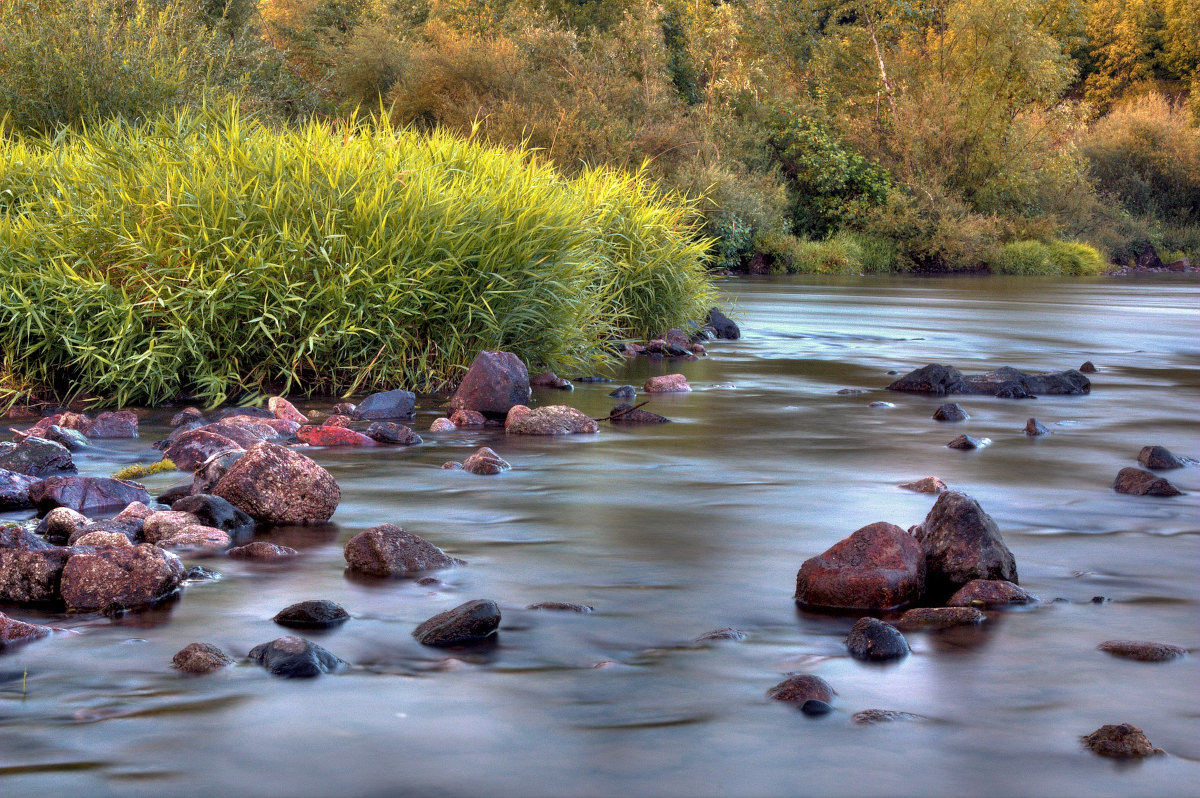
The route of the springs and and gorges of the Loire (GR 3 and GR 302) is a hike in steps, between Mont Gerbier-de-Jonc and Saint-Etienne and that can be covered in about 9 stages. You'll discover the longest river in France, the Loire, in gorges that are still wild and steep.
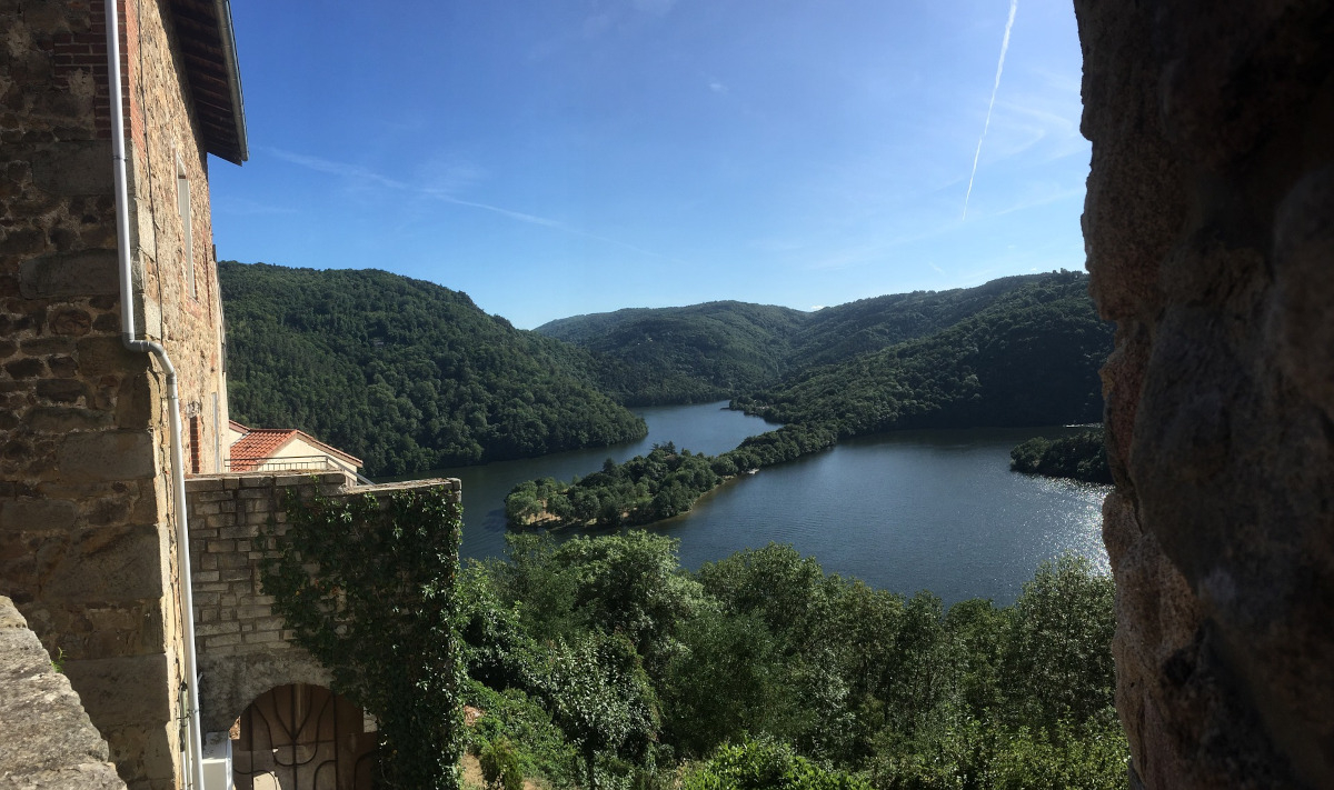
You'll notably pass by the lake of Issarlès, where you'll enjoy a quick swim after your hike. In Arlempdes, you can visit a medieval village and its castle overlooking the gorges. Goudet is next, with its imposing Château de Beaufort that also dominates the Loire.
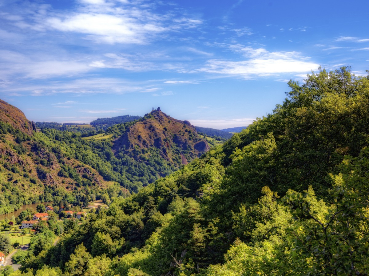
Your journey will take you to Le Puy-en-Velay with its remarkable monuments. The gorges of the Loire are still very imposing when arriving near Lavoûte-sur-Loire and the ruins of the villages of Saint-Quentin. We also recommend a stop near Chamalières-sur-Loire, a village nestled in the heart of the gorges of the Loire.
Your hike will end in Saint-Victor-sur-Loire where, again, you can dip your feet (or more) in the Loire.
Ideas for stages
You can use the following stages to prepare your hike. Of course, these can be modified according to your chosen accommodations:
- Step 1 : Mont Gerbier-de-Jonc - Issarlès (20 km)
- Step 2 : Issarlès - Goudet (20 km)
- Step 3 : Goudet - Coubon (27 km)
- Step 4 : Coubon - Lavoûte-sur-Loire (23 km)
- Step 5 : Lavoûte-sur-Loire - Retournac (26.5 km)
- Step 6 : Retournac - Monistrol-sur-Loire (29 km)
- Step 7 : Monistrol-sur-Loire - Aurec-sur-Loire (12 km)
- Step 8 : Aurec-sur-Loire - Saint-Victor-sur-Loire (12 km)
- Step 9 : Saint-Victor-sur-Loire - Andrézieux Boutheon (12 km)