Find out more...
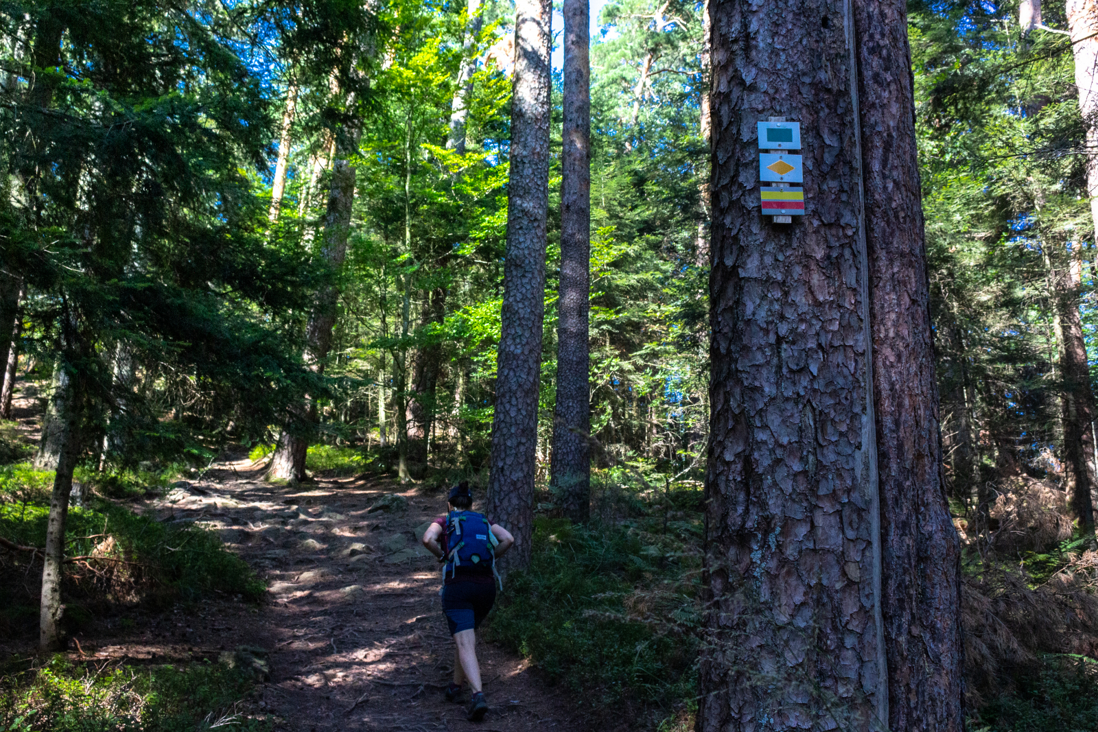
The southern loop of the Déodatie is a 174 km hike that can be completed in approximately 13 days of walking.
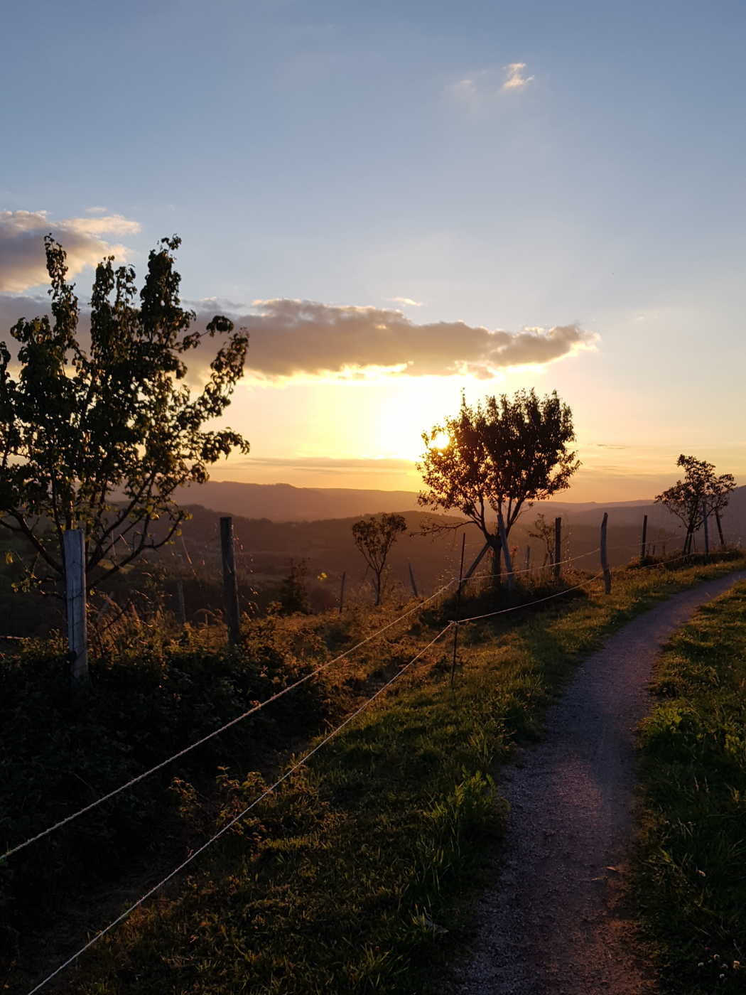
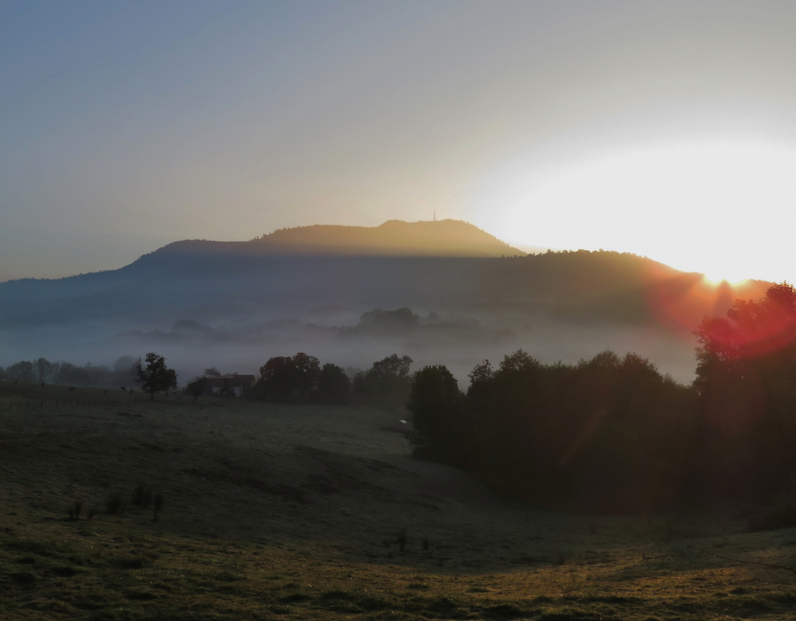
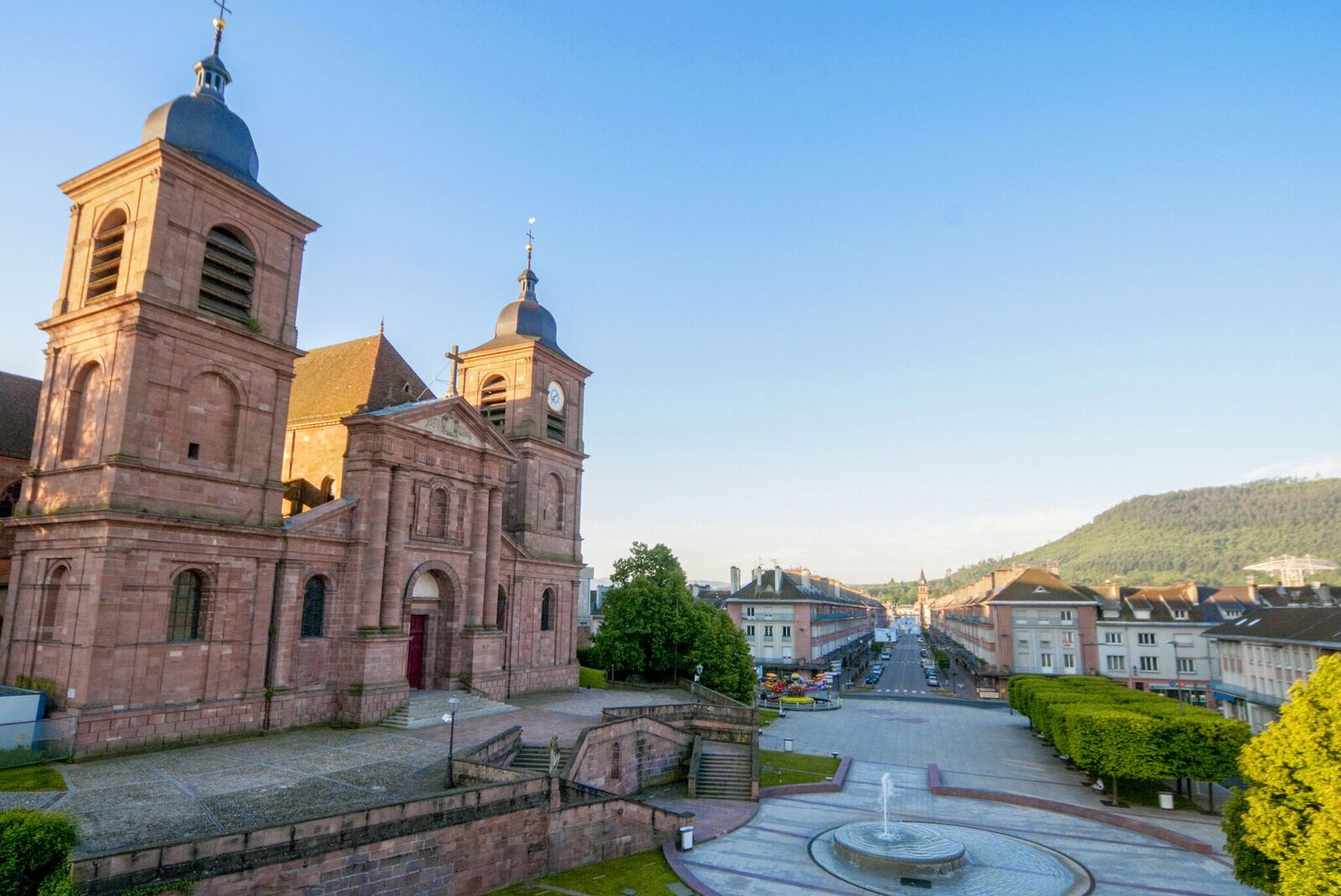
Starting from Saint-Dié-des-Vosges, this hike will take you through the rocks of the Kemberg massif, offering magnificent panoramas of the nearby valleys and mountains. In the High Vosges, you will also pass through Gérardmer, where you can enjoy the freshness and beauty of its lake.
You will traverse the ridges of Col de Bonhomme, reaching an altitude of 950 m, which will provide you with superb landscapes before descending through the Ormont massif, with views of the Vosges valleys and hills.
Here are some examples of stages on the GRP® de la Déodatie, southern loop:
- Stage 1: Saint-Dié-des-Vosges - Taintrux (approximately 12 km, 4 hours)
- Stage 2: Taintrux - Les Rouges-Eaux (approximately 14 km, 4 hours and 30 minutes)
- Stage 3: Les Rouges-Eaux - Brouvelieures (approximately 17 km, 5 hours and 15 minutes)
- Stage 4: Brouvelieures - Biffontaine (approximately 9 km, 3 hours)
- Stage 5: Biffontaine - Corcieux (approximately 19 km, 6 hours)
- Stage 6: Corcieux - Gadémont (approximately 13 km, 4 hours)
- Stage 7: Gadémont - Gérardmer (approximately 13.5 km, 4 hours and 30 minutes)
- Stage 8: Gérardmer - Le Grand Valtin (approximately 12 km, 3 hours and 45 minutes)
- Stage 9: Le Grand Valtin - Habeaurupt (approximately 15 km, 5 hours)
- Stage 10: Habeaurupt - Col du Bonhomme (approximately 12 km, 4 hours)
- Stage 11: Col du Bonhomme - Ban-de-Laveline (approximately 16 km, 5 hours)
- Stage 12: Ban-de-Laveline - Provenchères-et-Colroy (approximately 17 km, 5 hours and 45 minutes)
- Stage 13: Provenchères-et-Colroy - Saint-Dié-des-Vosges (approximately 15 km, 5 hours and 15 minutes)